All your applicant’s questions, answered.
Camino’s Development Guide is now the Clariti Guide.
How It Works
Step One

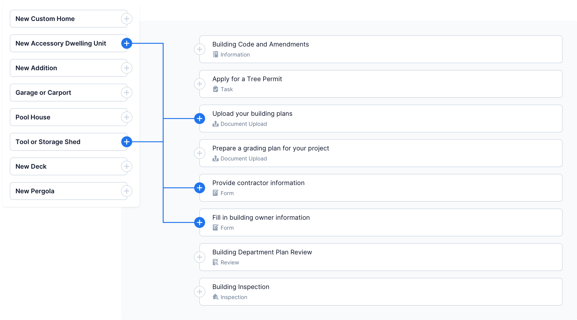
Enter details about your project by going through our smart questionnaire.
Step Two

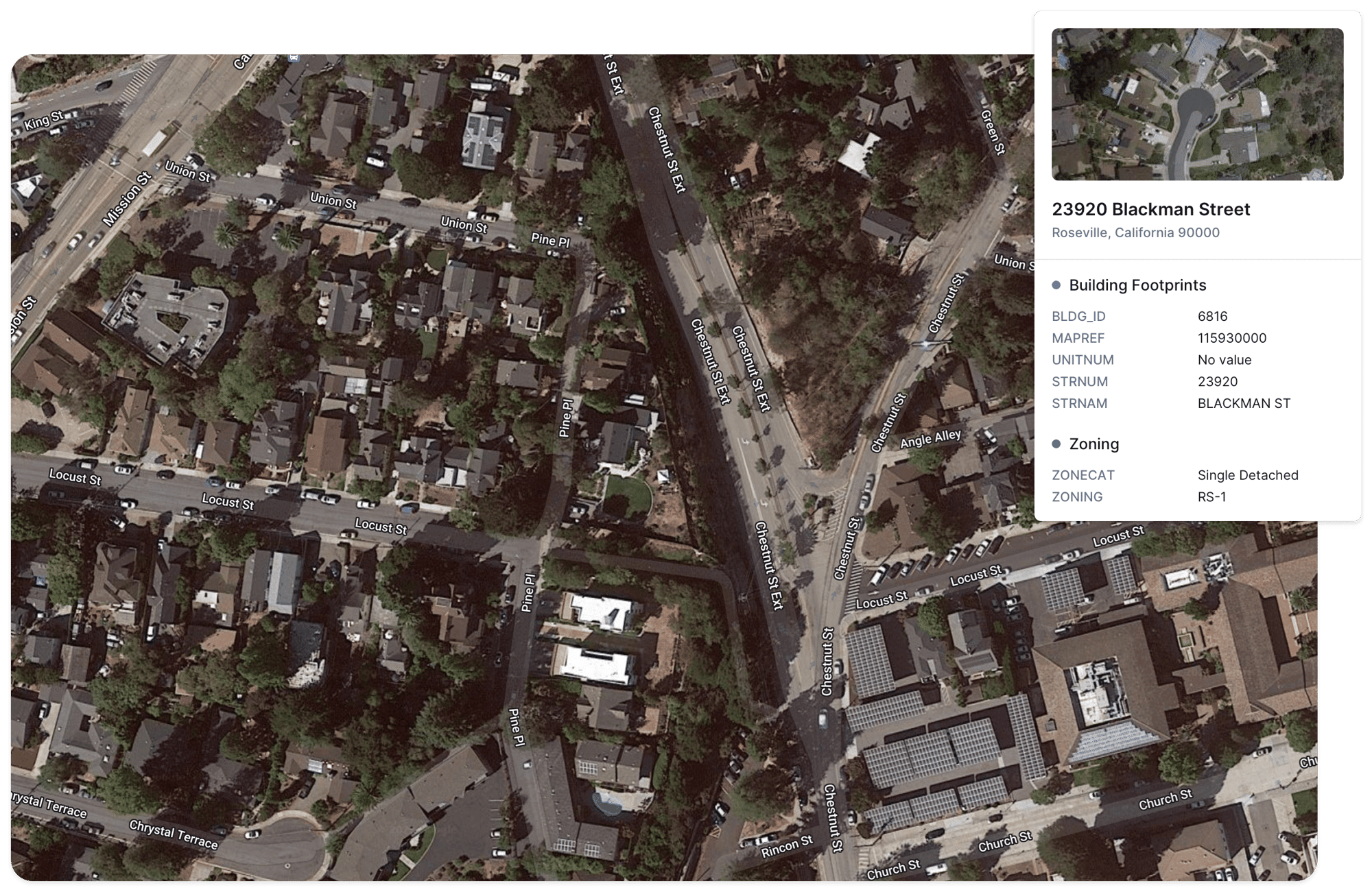
Select a location to check zoning and other parcel-based details.
Step Three

Receive a unique, custom set of instructions for how to get your project done.
Results
decrease in customer phone calls
decrease in counter visits
decrease in customer phone calls
Drive Consistency and Reduce Mistakes
With Camino you never need to worry about whether your process is being followed correctly. We have automation infused throughout the software to make sure the right steps happen in the right order.
Which permits do I need?
Help applicants figure out whether their project is allowed and which permits may be required (even across multiple departments).
Smart Rule Engine
Use Camino’s intuitive visual rule engine to build out all the logic behind the Guide. No coding required.
Fee and Timeline Estimates
Camino quickly provides an estimate of all the fees owed for a project and how long it might take to get approval. Provide this information up front to eliminate surprises or questions later.


“Camino's Permit Guide was exactly what we needed to take the extensive permitting processes and show customers step-by-step what they would need to do in our system to submit their permit, get their permit reviewed, obtain the issued permit and even schedule the necessary inspections.”
— Fairfax County, VA

Simplify Complex Location Rules
Camino incorporates your GIS data to pull in parcel details and other geographic restrictions. We help simplify complex location requirements for the applicant.
Automated Zoning Checks
Zoning rules can be overwhelming. Camino automatically checks whether a business or construction process is allowed based on the zone and identifies any extra approvals that may be required.
Detect Hazard Areas
Flag whether a property is in a flood zone, fire hazard area, or near a coast line. Make sure the right construction rules and insurance requirements are followed.
Surprisingly Easy to Implement
One of the most common reactions to our Guide is - “this looks amazing, but isn’t it a ton of work to set up?”
The great news is that the answer is “No!”.
Here’s how we make setup easy.

All configuration is done through a visual, no-code interface that's quick to learn. Our users frequently build and launch their own Guides in a matter of days.

Using our Network Search library, you can bring in content and rules from other agencies around the country. No need to redo work that somebody else has already done!
No Integration Required
Our Development Guide works seamlessly with your existing software and other Camino products.
Here are some of the systems that our customers use alongside Camino today:

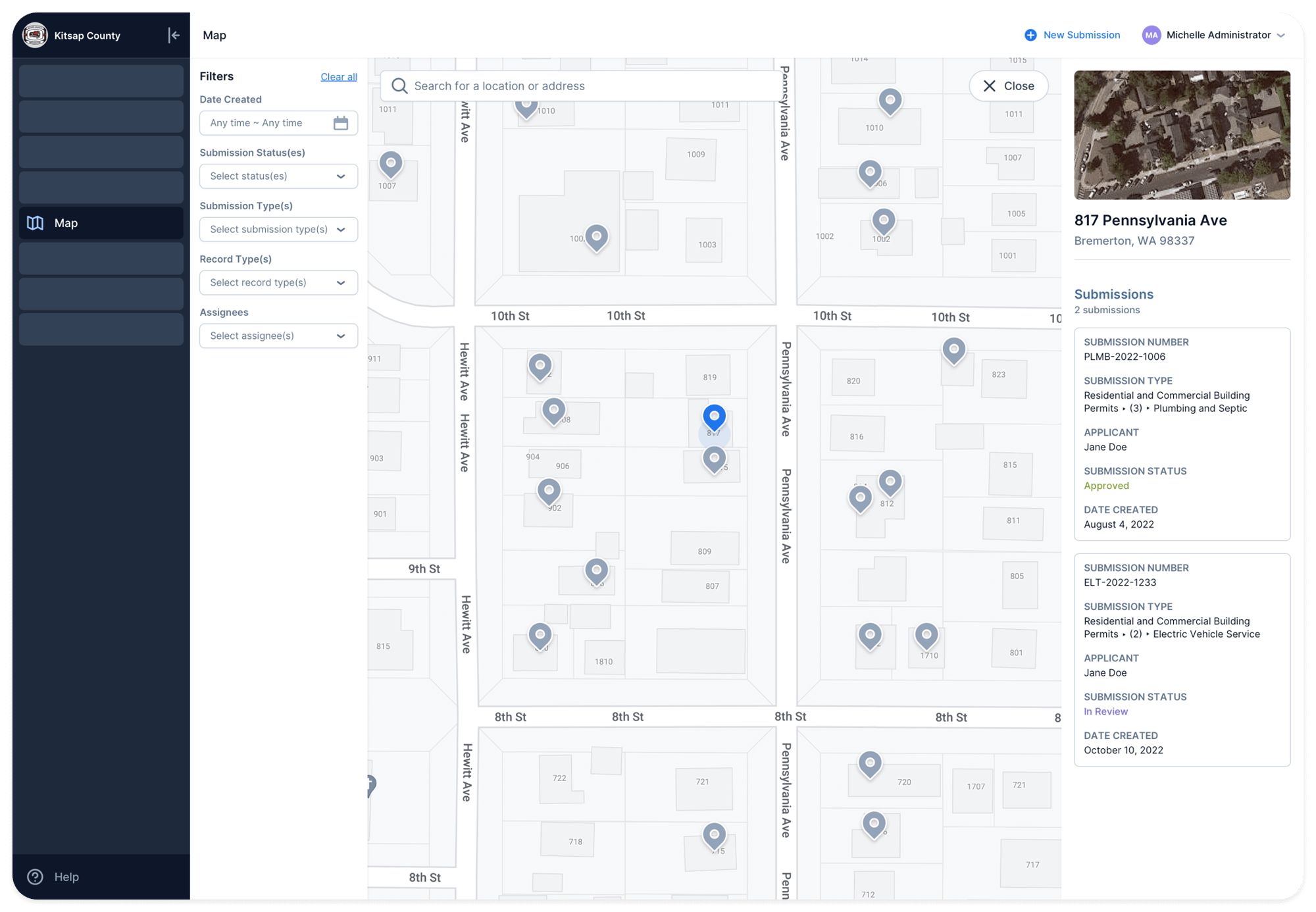
Monitor Upcoming Development Trends
Because applicants use Camino’s Development Guide months before they start work, our system captures valuable intelligence about upcoming development trends. Stay ahead of growing workloads and share reports with leadership.


